
Rendlesham Forest Overview
|
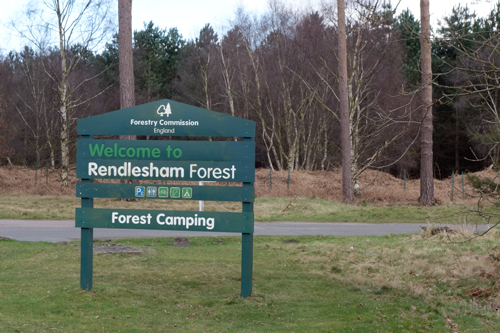
Rendlesham Forest A very large (12 square km) Forestry Commission coniferous plantation to the east of Woodbridge. The area includes Tangham, which was the subject of the club’s very first “re-drawn” orienteering map (1972). Whilst generally flat, contrast is provided by variations in the runnability of the forest blocks and by two valleys that cut into the area.
Currently developed into two maps: |
 |
|
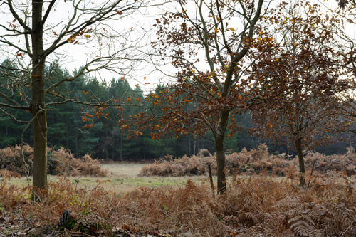
Rendlesham Forest: Daisy's Wood & 100 Acre Walks The north-western part of Rendlesham Forest - an area of coniferous and deciduous blocks of trees of various ages on either side of a small, rather marshy valley. The map has now been extended to the younger conifer plantations south of the B1084 to allow for the easier design of longer courses, though the area may need to be rested through a period of intense forestry management. This section of the map could be further extended to the west, to include an intricate area around the abandoned rifle butts.
Location: TM 345503 |
 |
|
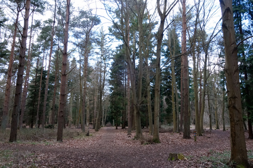
Rendlesham Forest: Tangham The southern part of Rendlesham Forest, made famous by the UFO (Unidentified Flying Orienteer?) visitation in 1980. The area is typical of East Anglian forest, with coniferous blocks of various ages on either side of the valley of The Tang.The area was last used for orienteering in 2015. Parts of the forest were thinned in subsequent years, but the forest is now back in excellent condition. There is a lot of good, clear, runnable terrain with some area of intricate vegetation detail. The size of the area and point feature detail and variety, together with the increased "runnability", makes the area ideally suited to larger events, such as the 2023 East Anglian Championships. Location: TM 354484 |
 |